
NavigationInf NavigationInf
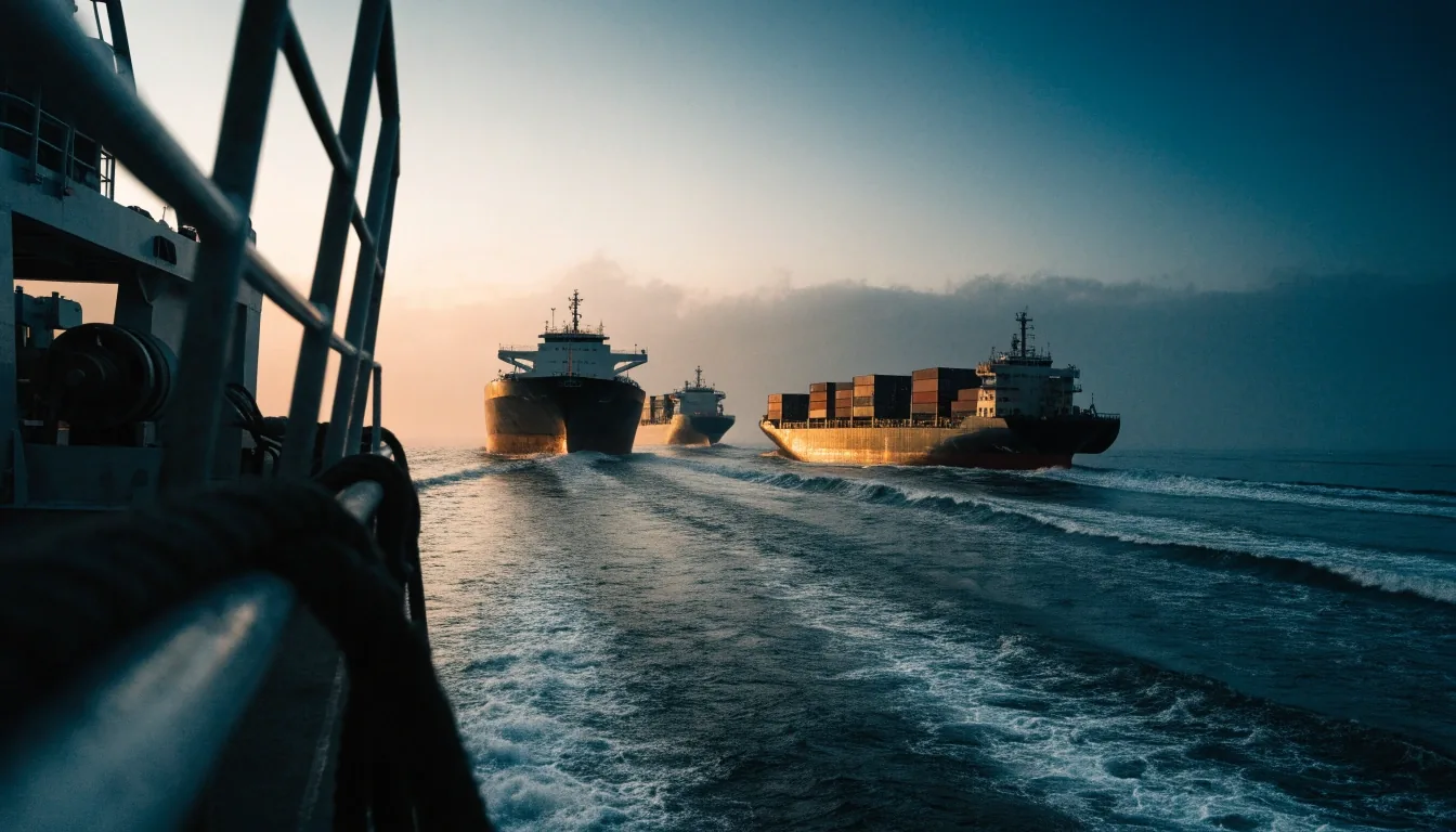
Cargo and tanker vessels strung along the Strait of Hormuz shipping lane at dusk, seen from a headland above the water

Gulf shipping desk · 8 October 2026

Iran and Oman agree on safer shipping corridors through Hormuz

The two sides finalized coordinates for designated safe transit routes through the Strait of Hormuz and agreed how those coordinates will reach the maritime bodies that ships and insurers actually watch.

Tanker traffic, inbound Corridor coordinates agreed Publication pending

What was agreed

Coordinates, not intentions

Iran and Oman finalized coordinates for designated safe transit routes through the Strait of Hormuz. The agreement covers ships entering and leaving the strait, according to Iran's statement. Both governments also settled how the coordinates will be shared with the relevant international maritime body.

That second step is easy to skim past. A route only lowers risk when crews, operators and insurers can see it on the same published reference. Fixing the numbers on paper is the technical work; releasing them through a recognized body is what turns the arrangement into something a bridge team can load before departure.

How we verify a claim
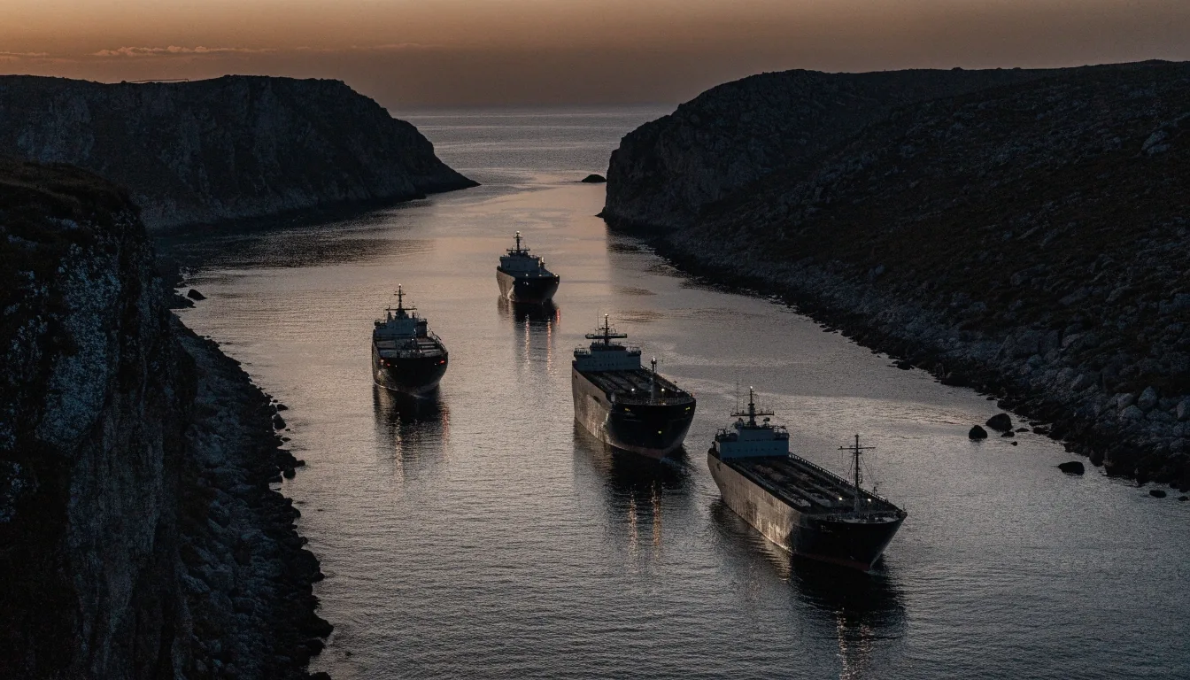
Merchant vessels holding a narrow channel between two dark shorelines at dusk in the Strait of Hormuz
The strait carries a large share of the region's seaborne trade through a channel only a few kilometres wide at its narrowest. Photograph: NavigationInf

Sharing the coordinates

The mechanism matters as much as the coordinates themselves, because a route only reduces risk if ships and insurers can see it. Here is how the arrangements sit against each other, including the part that has not been published.

Designated routes

Coordinates finalized by both sides

Confirmed

Sharing mechanism

How the data reaches the maritime body

Agreed

Publication date

Not stated in the material we hold

Extending

Full text of the arrangement

Uncharted

Printed honestly: rows we cannot yet fill stay blank rather than estimated. Updates appear on the news desk as they are confirmed.

Why the strait is the key chokepoint

A large share of the region's seaborne trade passes through the Strait of Hormuz, which makes transit conditions there a trade question as well as a security one. Tankers, container vessels and bulk carriers all share the same narrow water; a decision that reroutes them shows up in freight rates before it shows up in a news headline.

When tensions rise, insurers and operators adjust routing and risk pricing before any physical disruption occurs. War-risk premiums move on the word that a corridor exists, not on a specific incident. Safe transit corridors target that uncertainty directly: they substitute a published track for an improvised one, so underwriters have something specific to price rather than a general apprehension about the Gulf.

Charted but uncertain

A designated corridor is a starting point, not a guarantee of safe passage. Traffic density, escort arrangements and weather all sit outside the coordinates, and the picture can change faster than a published route can be revised. Read any single chart of the strait as one frame in a moving sequence.

A security patrol vessel moving through a dark shipping lane at dusk with anchored cargo ships on the horizon

The security context

The agreement was reached during heightened regional tensions, which is the condition that gives it purpose. Iran said the routes are intended for vessels entering and leaving the strait in that environment. We report the stated rationale and do not project how the arrangement will perform.

Stated rationale is the honest unit of reporting here. Both sides described why they agreed; neither published a performance commitment. That distinction is the one to hold on to when the next round of commentary arrives.

Security coverage of maritime routes and regional risk is indexed on the sections desk.

What it means for shipping operators

For operators, a designated corridor simplifies passage planning and clarifies which track to follow in a contested area. It also gives a shared reference point for communications with maritime authorities. The practical gain is predictability, which is what risk pricing responds to.

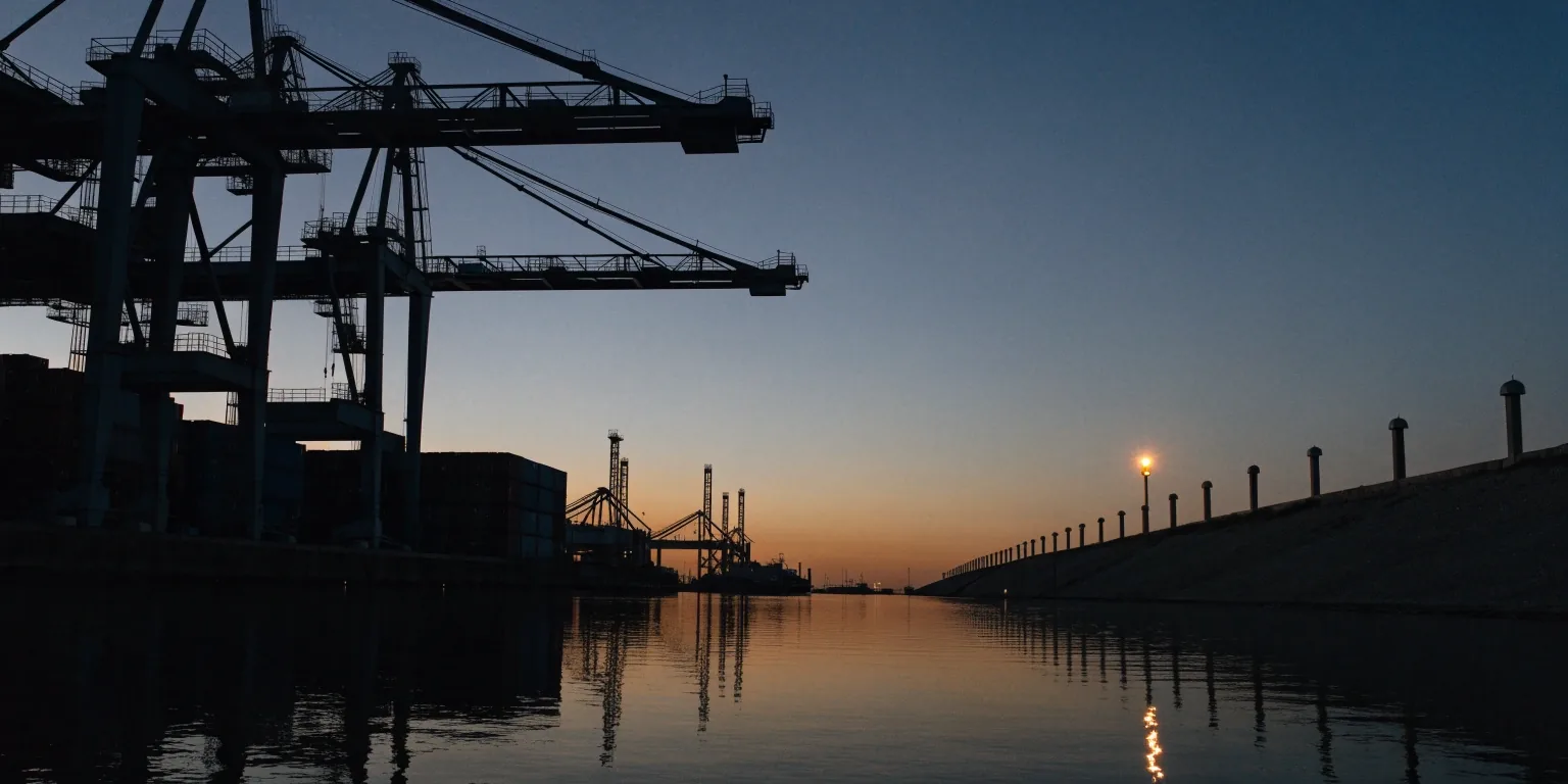
Shipping containers and gantry cranes in silhouette on a Gulf port quayside at dusk, seen from across the water

Passage planning

A shared track to follow

Designated corridors remove the improvisation from a transit through contested water. A bridge team loads the agreed track, briefs the change, and files the plan without the second-guessing that comes from an informal route. Where two sides share a coordinating body, communications with maritime authorities also land on a common reference, which shortens the exchange on the VHF.

Risk pricing

Underwriters need a shape to price

War-risk premiums respond to uncertainty more than to any single incident. When a corridor exists, the question shifts from "is the whole strait dangerous" to "what does this particular track look like this week", which is a narrower and more answerable question. The practical effect is that premium changes arrive with a reason attached instead of moving on rumour.

Dark water beside a ship hull at dusk with amber dock lights reflected across the surface

Trade and markets

Where the strait shows up

Shipping conditions in the strait feed into oil pricing and, from there, into Gulf market sentiment. A corridor agreement does not set the price of a barrel, but it changes how the price is read.

The Reuters account of world shares slipping on high oil prices and supply constraints runs alongside this story rather than separately from it. Freight, insurance and bunker costs move through the same water; when transit conditions shift, they move together. Our Markets section covers that side of the picture in more detail, including how regional indices have responded to the wider tension.

Coastal industrial shoreline at dusk with container cranes and jetty posts in silhouette against a dim warm horizon

Limits of this report

What has not been published

The coordinates themselves and the full text of the arrangement have not been published in the material we are working from. We report what Iran said about the purpose and the sharing mechanism, and we do not add detail that has not been released.

Updates will appear on the Security page as they are confirmed. Until then, the coordinates exist between the two governments and the maritime body named in the agreement; the public chart of them does not yet exist.

Open the Security section

Where this sits on the site

Security covers maritime routes and regional risk. Middle East covers the wider picture and how it reaches residents in the Emirates. The weekly briefing groups shipping, market and regional items so a single change is visible across all three strands.

Reader questions

Short answers to the things people asked us about the arrangement in the days after it was announced.

Have the corridors already opened?

Coordinates have been finalized and a sharing mechanism agreed. Iran's statement described the routes as intended for ships entering and leaving the strait; a public publication date has not been given in the material we hold.

Which body receives the coordinates?

Iran and Oman agreed how the coordinates will be shared with the relevant international maritime body. The mechanism is the part that makes the coordinates usable: a route only reduces risk if ships and insurers can see it.

Does this change oil pricing?

Not directly. A corridor agreement does not set the price of a barrel; it changes how risk is read around the strait. Markets have moved on oil prices and supply constraints in the same period, and our Markets section tracks those moves separately.

Where do updates appear?

On the Security section as they are confirmed, and in the weekly briefing, which groups shipping, market and regional items in one place.

Weekly briefing

One change, three strands

The weekly briefing puts shipping, market and regional items in one place so you can see how a single decision in the strait reaches road, port and city planning across the Gulf.