
Road rules, addressing and urban change in the UAE
Restrictions, enforcement, addressing systems and infrastructure across the Emirates — for the people who plan the routes and the people who drive them.
This is the operational side of NavigationInf: road restrictions, enforcement, addressing systems and infrastructure across the Emirates. It is written for people who plan routes, run fleets or simply want to know why a corridor changed.
Two live threads run through this section of the desk. One is freight: where trucks may move, when, and what changes for dispatch planning. The other is the ground beneath all navigation — the addressing system that tells a driver, a courier and an emergency crew that they are looking at the same place. Everything below is grouped around those two threads and the districts they touch.
Truck movement restrictions on Dubai roads
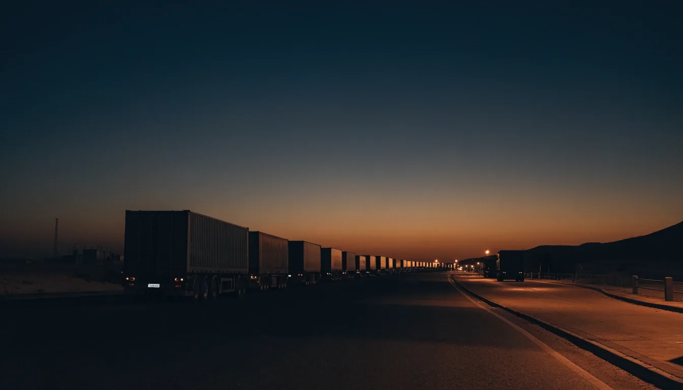
Dubai's Roads and Transport Authority and Dubai Police introduced truck movement restrictions across several roads to improve traffic flow and road safety. The affected areas include Al Qudra Road, Al Meydan Street and the Airport Tunnel. These are freight corridors, so the change matters to dispatch planning across the emirate.
Read the truck restrictions reportWhat operators need to check
For a fleet manager, the useful questions are narrow: which corridors are covered, what hours apply, and whether permits or alternative routes exist.
Scheduling and permits
The restrictions are framed around traffic flow and road safety, which means enforcement follows the same logic
We published a dedicated report on the rule change with the listed roads and what it means for scheduling. Read it before you re-plan a route: the report keeps the announced corridors together with the hours that apply and the alternatives operators are weighing.
Aerial read of the interchange
Why restricting a corridor changes the whole network
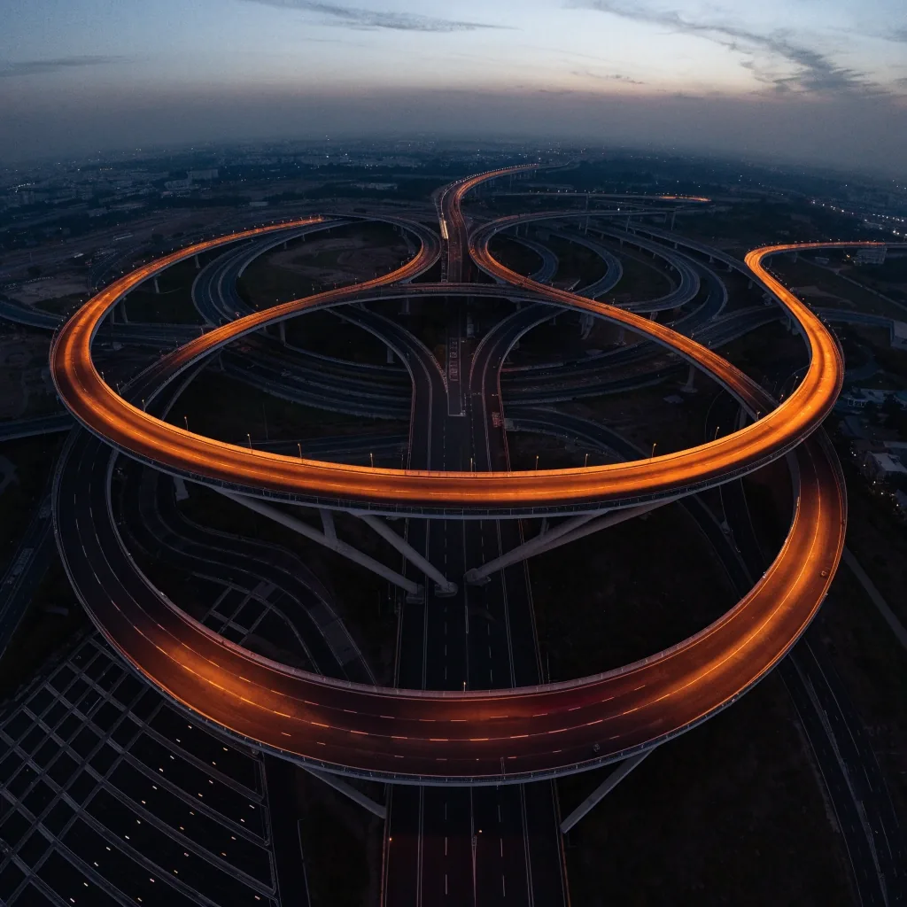
Move a heavy-vehicle window on one artery and the load shifts to the parallel route within a day. Dubai's freight network is dense enough that a single restriction rarely stays local; it re-shapes morning dispatch and evening returns. That is why the reporting tracks the named corridors together rather than one road at a time.
Dubai's colour-coded addressing rollout
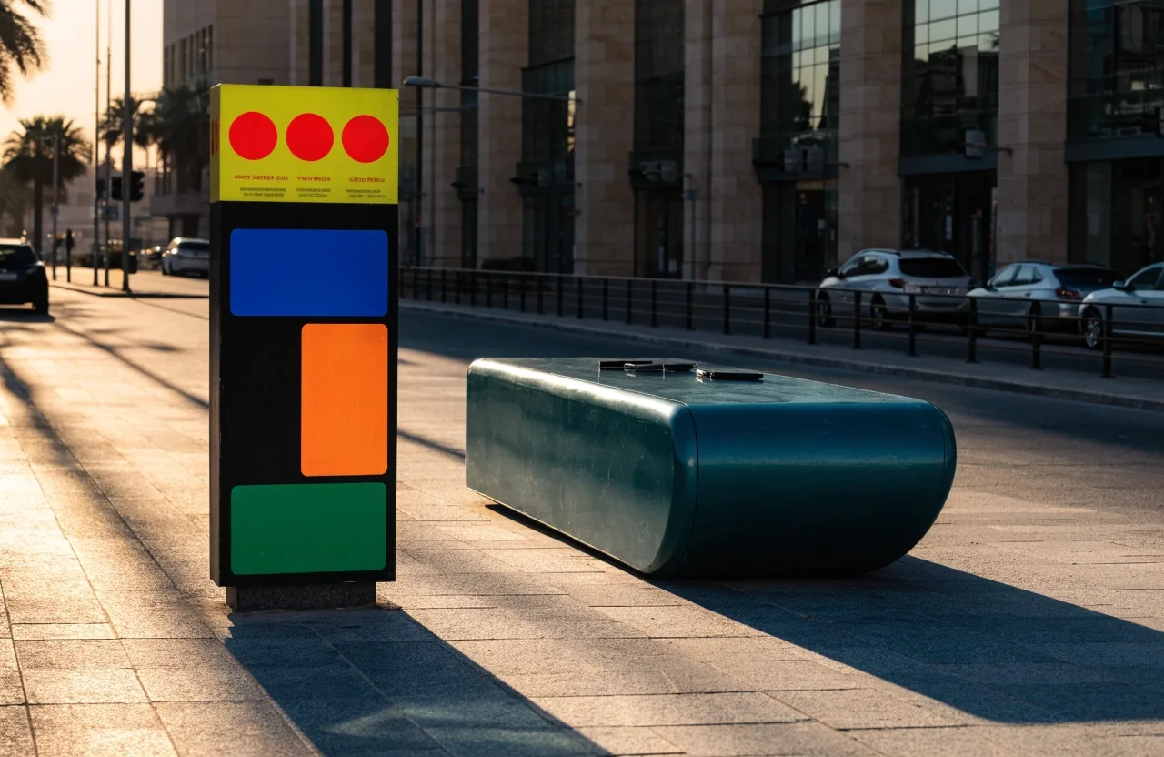
Dubai announced a new visual identity and enhanced addressing system with colour-coded area identities, updated street signs and house number plates. The rollout covers 186 areas across 19 sectors and begins in phases from late 2026 through 2030. The first phase includes more than 2,000 signs.
Addressing sounds administrative until you are the courier who cannot find a villa gate. The colour tells a visitor which part of the city they are in at a glance; the plates do the harder job of matching a delivery, an emergency call and a utility record to the same front door.
Navigation apps, emergency dispatch, delivery routing and utility records all depend on consistent addresses. Colour-coded area identities give people a fast visual cue about which part of the city they are in, while updated number plates reduce ambiguity at the door.
Why addressing matters more than it looks
For delivery operators, the phased schedule is the practical detail: which sectors change first, and when. The old and new systems run side by side for years, so a route plan has to hold both.
That transitional period is where mistakes happen. A driver trained on the old signs and a dispatcher working from the new plates can disagree about the same street without either being wrong. We track which phase is active and which sectors are next, so the reporting stays useful rather than retrospective.
Phased rollouts are the hardest kind to plan for, because the old and new systems coexist for years. Delivery companies working across Dubai will need to handle both during the transition. Consider updating the addresses your dispatch software already holds before the new signs reach your sectors, rather than after.
Rollout runs in phases from late 2026 through 2030 — 186 areas, 19 sectors.
Road safety as the through-line
Both the truck restrictions and the addressing changes are framed around safety and flow. That is not marketing language in this case; it is how the RTA and Dubai Police describe the measures. Our coverage keeps the same framing and avoids inflating it into a broader claim about accident statistics we cannot verify.
Where a claim cannot be sourced back to the announcing authority, we leave it out rather than fill the space. What remains is what a visitor can act on: which roads, which hours, which phase.
How we work is set out on the Editorial Standards page.
Urban infrastructure beyond roads
Urban coverage on NavigationInf extends to districts, signage and the public realm, not only carriageways. When a district gets new signs or a numbering scheme, the change is small on a map and considerable on the ground. A junction that looked the same for a decade can read differently on the first morning the plates go up.
The Urban section collects those stories, and the addressing rollout is the clearest live example. If you work a route every day, you will notice the shift before any announcement reaches you: a different colour on a signpost, a plate that no longer matches the address in your app.
What we cover on this beat, and where the gap is
An honest read of the desk: charted for the topics we can source, extending for the ones in motion, and blank where we have nothing yet.
Where the rest of this reporting sits
Transport & Urban is one desk on a larger newsroom. The road-rules and addressing stories sit alongside markets coverage, mobility technology and the day-to-day wire, and the sections index lists everything in one place.
Straight answers before you plan
If your question is not here, the newsroom inbox at the Contact page is the fastest route to the desk.
Which roads do the new truck restrictions cover?
The announced areas include Al Qudra Road, Al Meydan Street and the Airport Tunnel, among others. Our dedicated report lists them with the hours that apply.
When does the new addressing system start?
The rollout begins in phases from late 2026 and continues through 2030, covering 186 areas across 19 sectors. The first phase includes more than 2,000 signs.
Does the colour scheme change how a navigation app routes me?
The colour is a visual cue for the human driver; it does not by itself change a digital route. What shifts the app's output is the underlying address data, which the new plates and street signs feed into over the phased rollout.
I run deliveries across Dubai. What should I change first?
Start with the sectors in the first phase, then work outward. Because the signs and plates update area by area, your dispatch data will need to hold both the old and new addressing for a while — plan for the overlap, not a single cutover day.
How can I tell you a restriction is being applied differently on the ground?
Send it to the desk through the Contact page. If a rule is enforced differently than it was announced, that is the kind of gap our reporting is built to surface.
How to send us a road change
The desk reads tips from drivers, fleet operators and residents. If a restriction is applied differently on the ground than in the announcement, that is a story worth telling us about. Contact details and the tip process are on the Contact page.
What helps most: the road, the time of day, and whether the on-the-ground signage matches what was published. A short note is enough — we follow up before anything runs.
NavigationInf
Office 402, Al Thuraya Tower 1
Dubai Media City, P.O. Box 500001
Dubai, UAE
+971 4 391 2244
info@navigationinf.info
Mon–Fri · 9:00 AM – 6:00 PM
Dubai Media City, Office 402
The desk sits in Al Thuraya Tower 1. Contact the newsroom before visiting so we can meet you at reception.
Office 402, Al Thuraya Tower 1
Dubai Media City, P.O. Box 500001
Dubai, UAE

Transport & Urban keeps its own beat
Road rules, freight windows, addressing and the districts that carry them — reported as it changes and left honest where the reporting stops. The rest of the newsroom is one click away.