
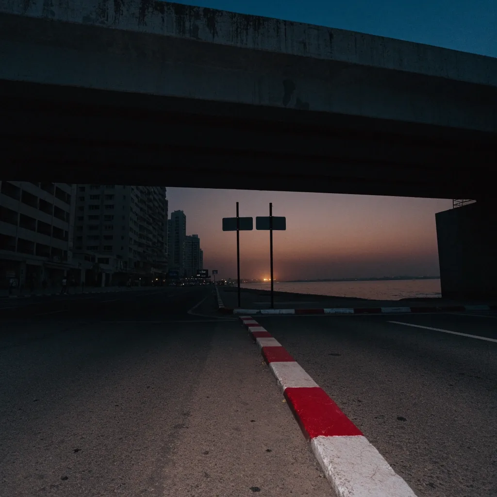
Urban desk · Dubai addressing system, first phase opening from late 2026
Dubai rolls out a new addressing system with updated signs
186 areas across 19 sectors get colour-coded identities, refreshed street signs and new house number plates, delivered in phases from late 2026 through 2030.
What the new system changes
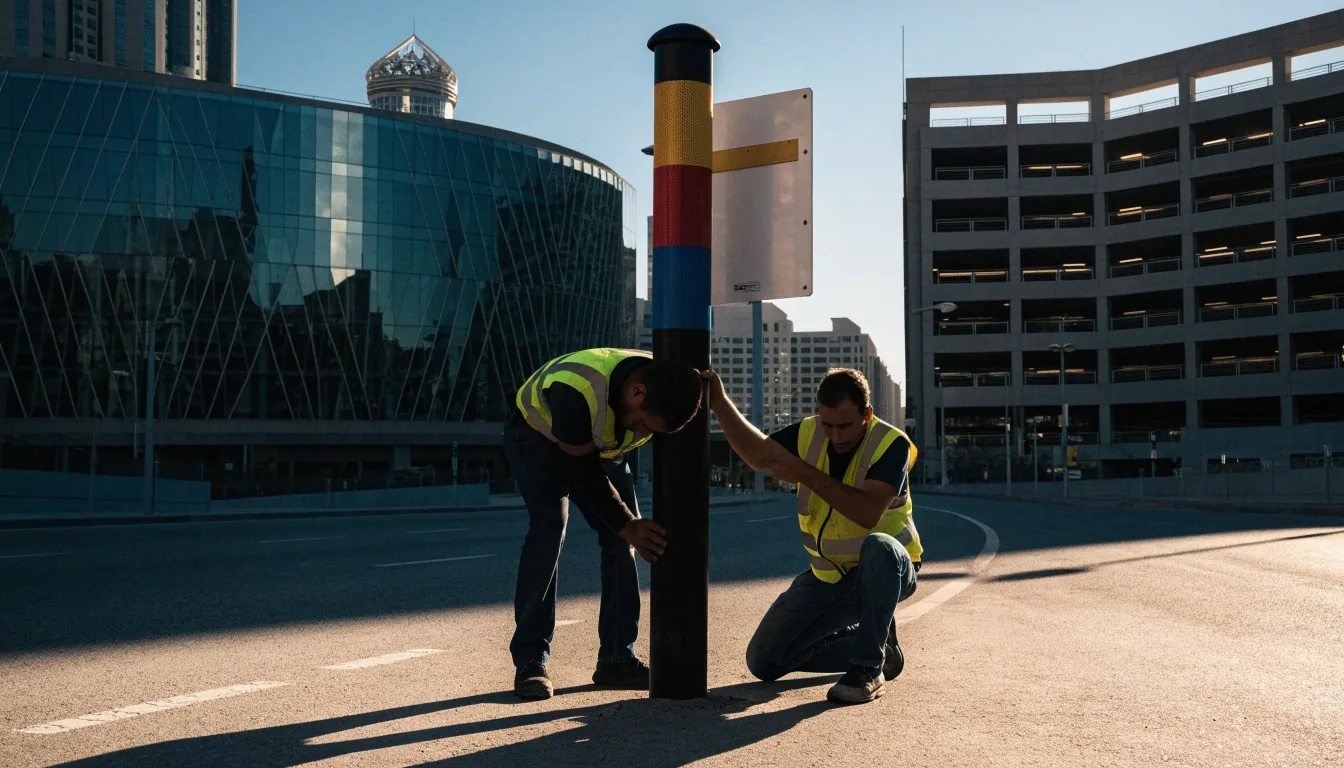
The announcement bundles three changes: colour-coded area identities, updated street signs, and new house number plates. Colour coding gives a fast visual cue about which part of the city you are in. Updated plates reduce ambiguity at the door, which is the point where most deliveries succeed or fail.
- First Colour-coded area identities
- Second Updated street signs
- Third New house number plates
Rollout bands
The scale: 186 areas, 19 sectors
The programme is measured in years and thousands of installations rather than a single district pilot. Residents in the earliest sectors will see new posts and plates while neighbouring districts still run on the old markers, which is why the schedule itself is part of the story.
Areas covered
186
Sectors
19
First-phase signs
2,000+
Delivery window
2026–2030
Why the phased schedule matters
Old and new addressing run side by side for years, not weeks.
Phased delivery means old and new addressing coexist for an extended period. During the overlap, a courier may pass colour-coded signs on one street and legacy markers on the next. Delivery teams will need to handle both, which is a routing and training problem before it is a signage one.
For anyone planning routes across the city, the practical question is not whether the new signs are better. It is which districts have switched, which are mid-change, and which are still waiting. A single well-signposted street inside an unchanged district can be more confusing for a driver than a district that has fully moved over, because the cues stop matching each other.
That unevenness runs for the length of the programme. Sectors that open early will settle into the new vocabulary quickly; the ones near the end of the window keep the old grammar longer and get less practice with it in the meantime.
Delivery and logistics
Address accuracy drives delivery time, failed attempts and customer complaints
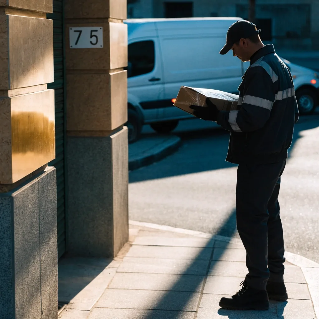
When signage and number plates change district by district, the effect on the ground is uneven: some routes get easier straight away, others get harder for a while. Operators carrying high daily drop counts in Dubai should watch which sectors open first, brief their drivers on the new cues before they meet them at the kerb, and keep a fallback for the addresses that have not moved yet.
Where the change lands first
Three parts of city life feel the addressing system most directly. The speed of each one depends on how far a sector has moved through the schedule.
The desk is tracking each phase as it opens and will report which sectors move first.
Emergency dispatch, utility records and municipal services all depend on consistent addresses
A colour-coded area identity helps responders and callers describe a location quickly, and it gives the person on the phone a shared frame before anyone starts naming side streets. The benefit shows up in the least visible part of the system, which is the part that has to work at three in the morning.
The same records reach utilities, municipal services and the databases behind them. Where an address is inconsistent, the fix is usually administrative long before it is physical.
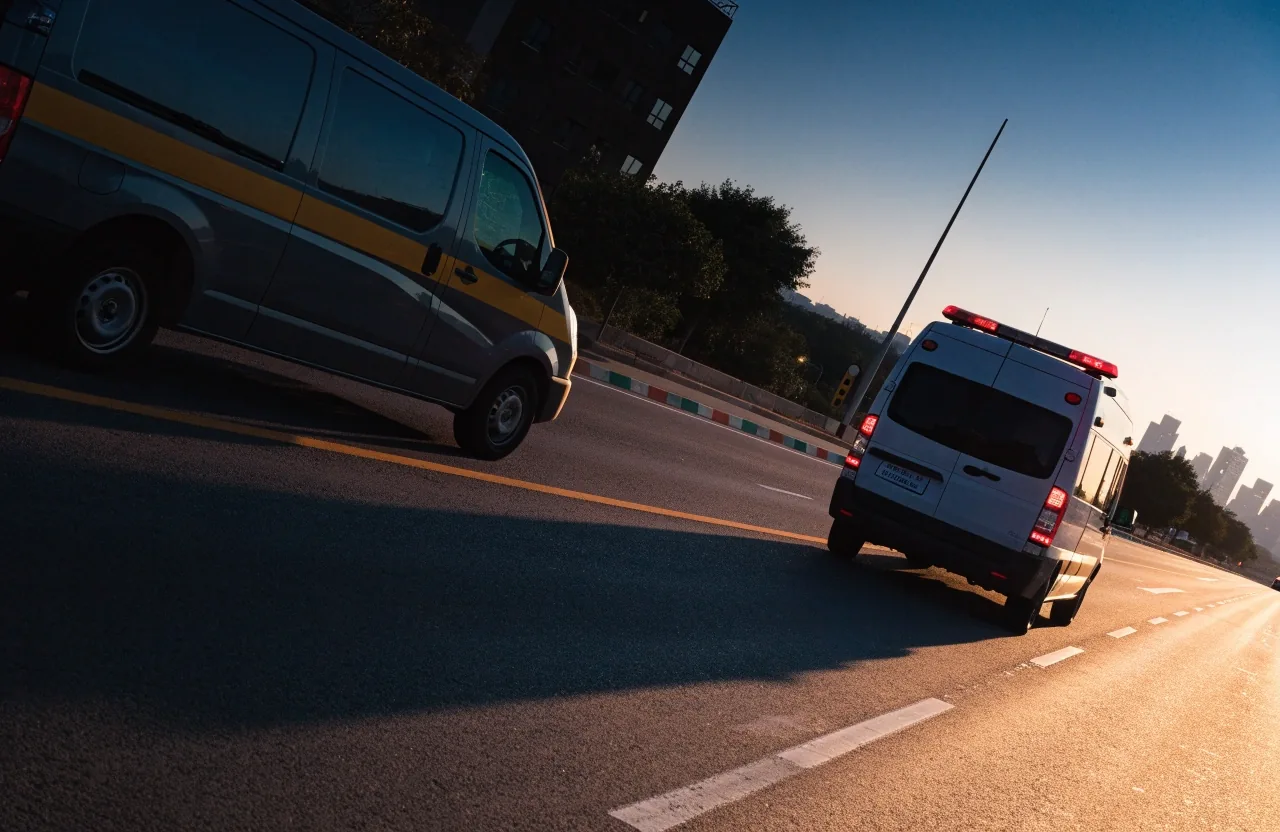
Emergency dispatch reads an address the same way a courier does: the clearer the marker, the shorter the call.
Navigation apps and map data
Routing and mapping products have to update their datasets as signs and plates change. That is a data maintenance problem running across the decade-long rollout, and it is why addressing belongs in our Technology & Mobility coverage as much as in Urban.
Dataset lags
A navigator that still shows the old marker can send a driver to the right street with the wrong visual cue. Expect the gap between a physical change and a map update to vary by district.
QR codes at the door
Machine-readable plates give a scanner a second route to the same address, which helps most where a driver's eye and a map disagree.
Long tail of phases
With the rollout stretching to 2030, teams that touch address data will keep doing this work for years. Treat it as an ongoing job rather than a one-off update.
What residents and businesses should do
Check the plate on the building
Once your sector moves, match the address on your official records to what is fixed to the wall. Where they disagree, the plate on the building is the one visitors will read.
Refresh the address you publish
Businesses that print an address should review signage, order forms and delivery instructions at the same time, so a customer never meets two versions of the same place.
Brief drivers before the change arrives
Waiting until the change reaches the front door tends to produce avoidable failed deliveries. A short note on the new cues costs less than a second attempt.
Keep in mind
Colour coding and plates are a change to the vocabulary of a street, not a change of route. The streets keep their shapes; what shifts is how quickly a driver or a caller can name where they are.
Spotted a street where the new markers have already gone up? The desk reads every note.
Reaching the newsroom
Questions about a specific sector, or a sign change your team has run into on the ground? The desk works from Dubai Media City and answers weekday messages during office hours.
- Address
- Office 402, Al Thuraya Tower 1, Dubai Media City, P.O. Box 500001, Dubai, UAE
- Phone
- +971 4 391 2244
- info@navigationinf.info
- Working hours
- Monday to Friday, 9:00 AM – 6:00 PM
Al Thuraya Tower 1, Dubai Media City — a short walk from the Media City boulevard.
Following the rollout
Urban carries the addressing coverage, and Transport & Urban collects the road rules that come alongside it. The desk is tracking each phase as it opens and will report which sectors move first.
Subscribe to the weekly briefingOne message a week with the phase updates, so you do not have to check daily.
When does the rollout start?
It begins in phases from late 2026 and continues through 2030, covering 186 areas across 19 sectors.
How many signs are in the first phase?
The first phase includes more than 2,000 signs, according to the announcement.
Do I need to change anything on my own records right now?
Not automatically. The useful step is a check: once your sector opens, compare the plate on your building with the address on your official records and the address your business publishes, then bring them into line.